Molindinar Factories
The old Line Path is now a Utility corridore - Water, Power you name it runs down this path but it is still fairly intact.
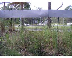 The path along to the factories at Molindinar starts at the Smith St/Olsen Ave interchange.
This photo is looking from just inside the chain link fence (Right most Camera Icon)
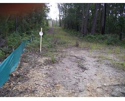 There is a new clearing (2013) that runs toward Smith Street this isn't the old line path, the old path is
more on an alignment with the southbound exit ramp from Smith St. This photo looking northwest from right most camera icon
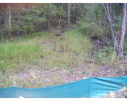 This is the actual line path you can see the orientation difference between the last photo and this one from the Blue barrier fence.
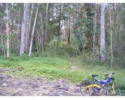 If you follow the new concrete walkway (2013) down to the rocky causway area and look north you
can see the railway embankment (oh and trusty railway bike MK2 that replaced the old red one from 1994)
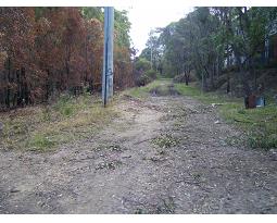 Once you bash your way up the hill to the back of the factories proper you get to a level trail (2nd photo icon from right looking west)
 A bit further on (camera Icon 3rd from Right) you can clearly see how the level pathway is an artificial creation ie: Old rail line

Molindinar:
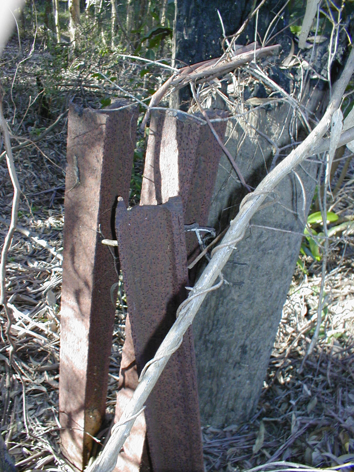
There are/were some artifacts that indicated Piles or Bridges near Olsen Ave and then the area around the back of the factories
is a bit churned up with utilities but the path of the line is fairly apparent.
Ultimately the line goes into a great cutting at Geoff Walter Drive as it crosses Ashmore Road
Larger Map

Why do I think this is the old railway?
Well when I visited many years ago there were two subsantial piles for a bridge that had railway line as part of their structure (see below)

Continue the journey with NEXT on the left or below.